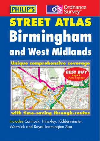
Birmingham and West Midlands Street Atlas (Ordnance Survey/ Philip's Street Atlases)
By Author.
Description
A brand new edition of this successful colour atlas of Birmingham & West Midlands, giving the most comprehensive and detailed coverage of the region. No other atlas names every street in Birmingham & West Midlands. The mapping is produced by the Ordnance Survey to our specification and gives the user complete coverage of all urban and rural areas. The mapping is at a standard scale of 31/2 inches to 1 mile, 21/2 inches to 1 mile in the pocket edition, and is complete with postcode boundaries. The atlas is ideally suited for both business and leisure use. There is a route-planning ma...
ISBN(s)
0540081248, 9780540081240