2013 Collins Britain & Ireland Handy Road Atlas (International Road Atlases)
By Collins UK.
Description
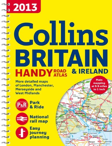
A collection of extremely clear, route-planning maps of Britain and Ireland that fits neatly into the glovebox, pocket, or bagThis handy road atlas makes for the ideal traveling companion. The maps of Britain are at 9.9 miles to 1 inch and the whole of Ireland is covered at 15.8 miles to 1 inch. There is a selection of more detailed urban-area maps at a 4.5 miles to 1 inch scale to aid route planning in these busy areas. The atlas also includes national rail map for planning your complete journey; money-off vouchers from Europcar and Castle Cover Insurance; road maps that foc...
ISBN(s)
0007468660, 9780007468669

")
")

")